Safe-Walk | Women’s Safety Navigation
Safe-Walk is a smart navigation tool built to empower women with real-time safety insights, emergency help, and trusted nearby services on the go.
Videos
Description
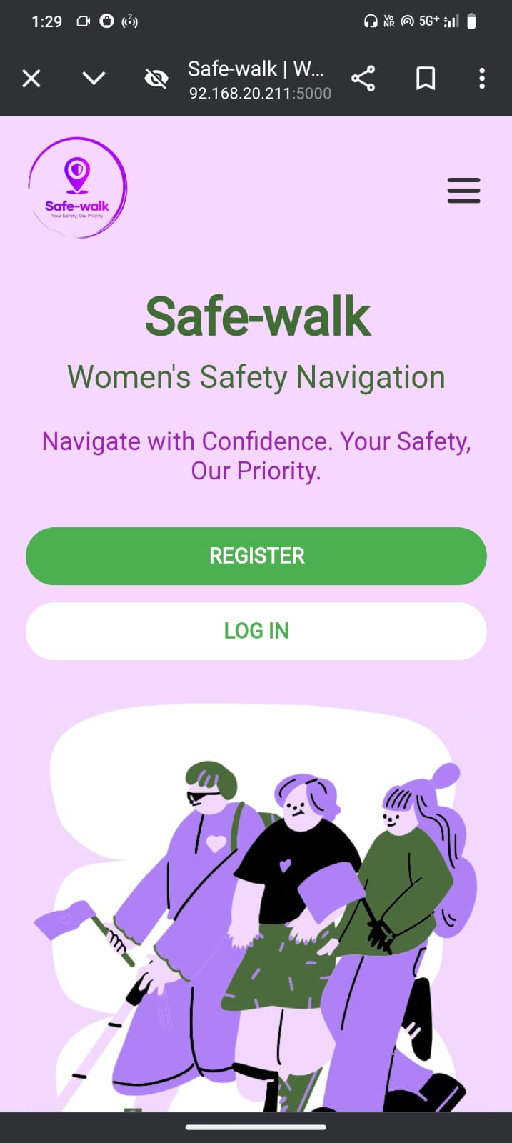
Safe-Walk: Women’s Safety Navigation is a comprehensive web platform designed with the mission to enhance women's safety in public spaces. From user-friendly registration and login to powerful real-time safety features, the website ensures a seamless and secure experience for its users.
Once logged in or registered, users are directed to the Safety Dashboard, the heart of the platform, featuring three essential tools:
Safety Score – This feature enables users to search any location and get a calculated safety score based on proximity to vital services like police stations, open shops, pharmacies, and other safety-related indicators. We have implemented a machine learning regression model — Random Forest — to predict the safety score accurately based on these parameters, ensuring data-driven and reliable results.
Access Services – Utilizing live GPS data, this tool shows all nearby essential services such as police stations, 24x7 pharmacies, open shops, restaurants, and subway stations. It offers an interactive way to explore your surroundings in real-time.
SOS – A critical emergency feature, SOS not only displays all nearby trusted places but also provides direct contact details. Upon selecting a contact, clicking the SOS button automatically opens the user’s default messaging app, drafts a pre-filled emergency message, and adds the chosen contact in the recipient field for quick communication.
With additional sections like About and Contact Us on the homepage, Safe-Walk is committed to being an all-in-one navigation and emergency response platform, offering peace of mind and reliable support for women anytime, anywhere.

Progress During Hackathon
1. Homepage (Welcome Interface) - Users land on a clean, informative homepage. - Navigation bar includes Home, About, and Contact Us. - Prominent buttons allow users to Register or Login to continue. - A brief tagline — Women’s Safety Navigation — highlights the core mission. 2. Registration & Login - Registration Page: Users fill out personal details (Name, Email, Contact Number, Password, etc.). - Backend validates email uniqueness and correct 10-digit contact number. - Sends OTP to email for verification. - Login Page: Existing users can log in using their email and password. - If credentials match, they’re granted access to the dashboard. - Errors like wrong email/password are handled with clear messages. 3. Redirect to Safety Dashboard - Once logged in, users are taken to the Safety Dashboard. - The dashboard has three main buttons: - Safety Score - Access Services - SOS 4. Safety Score Page - Users can search any location (e.g., a city, area, street). - The backend fetches nearby safety-related landmarks like: - Police stations - Open shops - Pharmacies - Public transportation hubs - A Random Forest Regression Model processes this data to calculate and display a Safety Score for the selected area. - Visual cues (like color-coded scores or icons) help interpret the safety level easily. 5. Access Services Page - Uses the user’s live location (via browser’s geolocation API). - Displays all nearby essential services: - Police stations - 24/7 pharmacies - Open shops and restaurants - Subway/train stations, bus stops, etc. - All locations are shown on a dynamic map with pins. - Users can click pins for more details or directions. 6. SOS Page - Similar map-based display of nearby safe places and services. - In addition to pinpoints, this page also lists contact details of: - Nearest police stations - Shops and medical stores that are open - Transportation hubs - Includes a custom SOS button: - On clicking, it opens the default messaging app on the user’s device. - A pre-written emergency message is filled in. - The number of the selected emergency contact is placed in the “To” field. - This allows the user to send an SOS message in just one tap. 7. About Page - Provides a brief story behind Safe-Walk. - Highlights the platform’s mission, inspiration, and goals. - Mentions the technologies used (ML model, geolocation, real-time data). 8. Contact Us Page - Allows users to get in touch with the development/support team. - Includes: - Contact form (Name, Email, Message) - Official email and phone number 9. Backend & Database Support - Node.js handles server-side logic and routing. - MySQL is used to store user data, service location data, safety scores, and logs. - Google Maps API fetches nearby places.